Video loading...
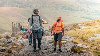
Hiking and Backpacking

Video: The Inaugural Outside Gear Summit

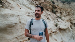
What Happened When We Handed Out Free Beer at a Popular Trailhead

Increasing Diversity in the Outdoors One Hike at a Time
‘Step by Step’ Captures the Mindset of a Game-Changing Athlete
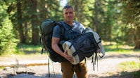
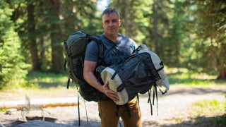
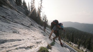
How to Choose the Right Backpack

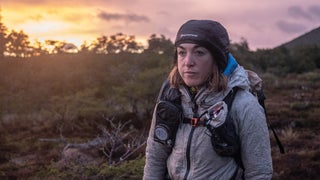
A Mother’s Loss and a Grueling Race to Process the Pain
Dropping the Localism: Outsiders Are Welcome

A PSA on How to Recreate Outdoors During These Times

Life as One of the Last Fire Lookouts

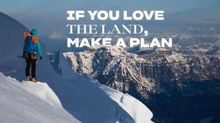
If We Want to Protect the Places We Love, We Must Vote
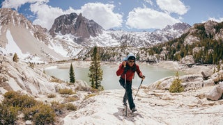
An Adaptive Athlete and Her Home Mountain

What Shoes Should You Be Hiking In?

Celebrating LGBTQ People in the Outdoors

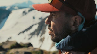
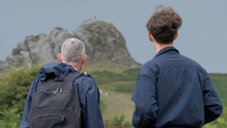
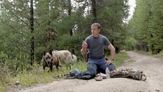
A Father and Son Process Grief on a Walk

5 Moves for Increased Flexibility

How to Break in New Hiking Boots

Quick Tips to Avoid Getting Lost Outside
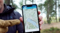
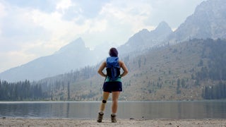
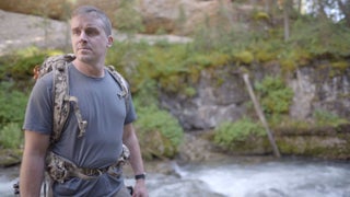
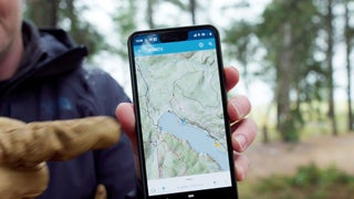
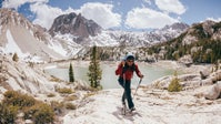
You Should Make Your Own Maps. Here’s How.

New Rules for Hiking with an Off-Leash Dog
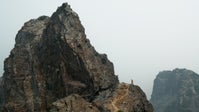
Hiking Lions Head Ridge in Idaho Is Crazy
You Should Make Your Own Maps. Here’s How.
New perk: Easily find new routes and hidden gems, upcoming running events, and more near you. Your weekly Local Running Newsletter has everything you need to lace up! Subscribe today.
The way you navigate outdoors is outdated. Relying on commercial maps (printed or app-based) means you’re relying on someone else’s data. Here, Wes Siler walks you through creating your own custom maps on CalTopo, exporting them to your phone, and using them in the field with Avenza Maps. As you’ll see, that opens up unprecedented functionality and allows you to build your own custom destinations and routes, just a few of the benefits of using them outdoors.